Proposed 2011 WUI Map Changes
January 27, 2011

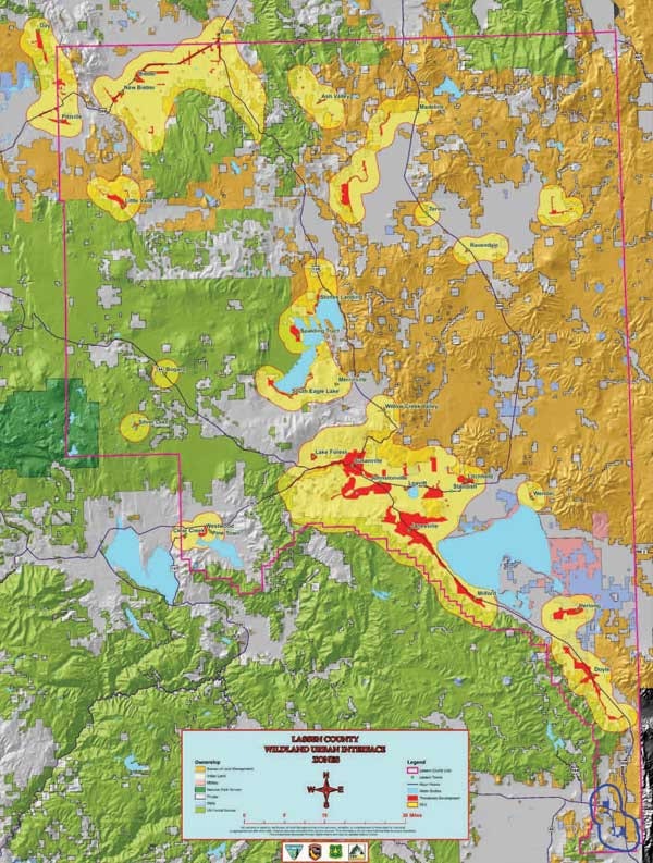
The proposed changes to the 2011 WUI Map can be clearly seen on the updated map. Please download the Lassen County WUI – Wildland Urban Interface Map PDF to get a better view of your area.
Lassen County WUI – Wildland Urban Interface Map PDF